All Projects

Project Portfolio

Field-based conservation science delivering real ecological insight

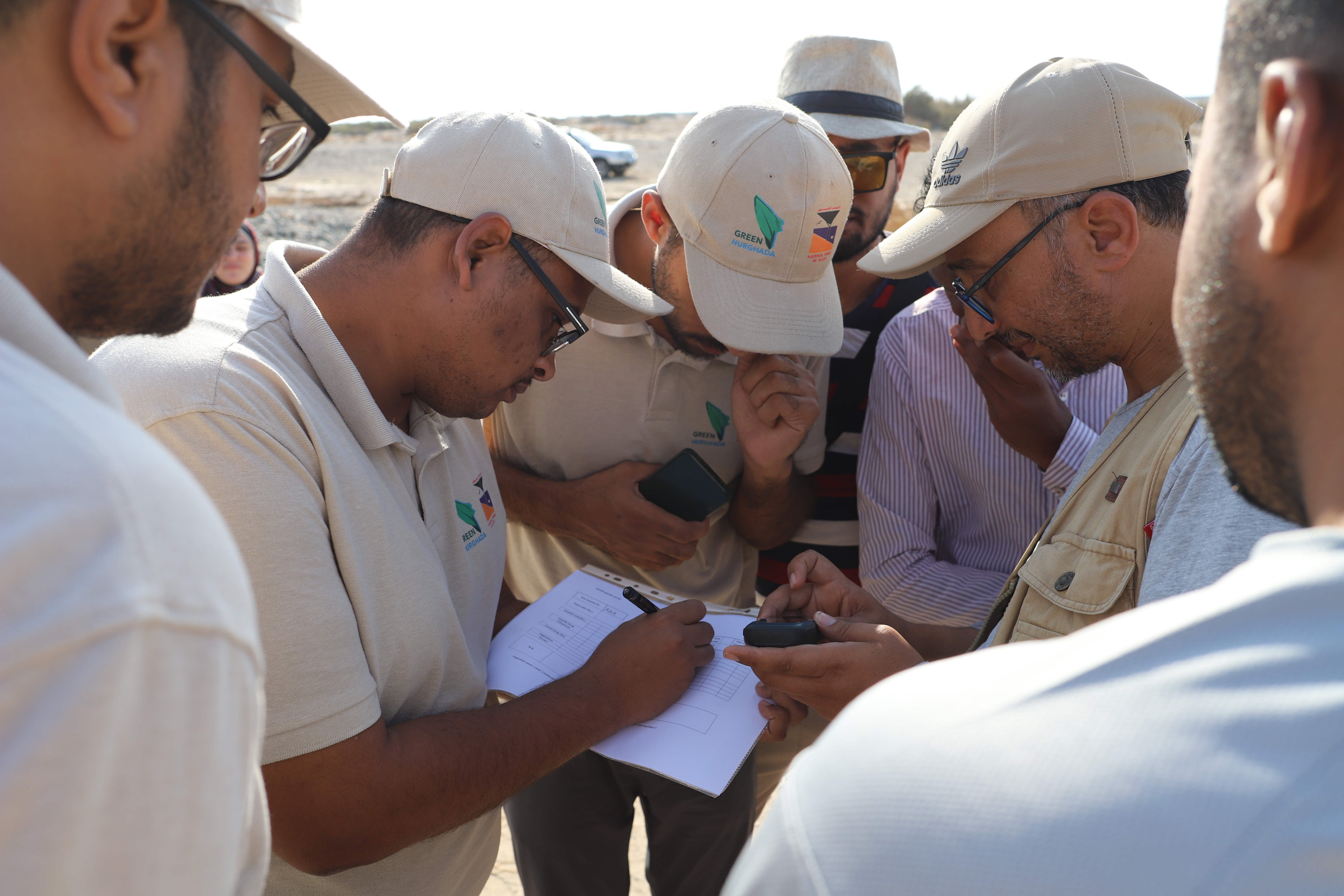
Field team recording GPS data during Gazelle Survey at Wadi El-Gemal National Park
Wildlife Survey & Conservation Planning

Wadi El-Gemal Gazelle Survey — Population Assessment & Conservation Action Plan

A comprehensive gazelle population survey commissioned by the Italian Agency for Development Cooperation on behalf of Egypt's Nature Conservation Sector (EEAA). The project surveyed 4,800 km² of Wadi El-Gemal National Park (WGNP) from June to November 2025, assessing Dorcas Gazelle (Gazella dorcas) population size, density, activity, and occupancy across the park's full terrestrial extent.

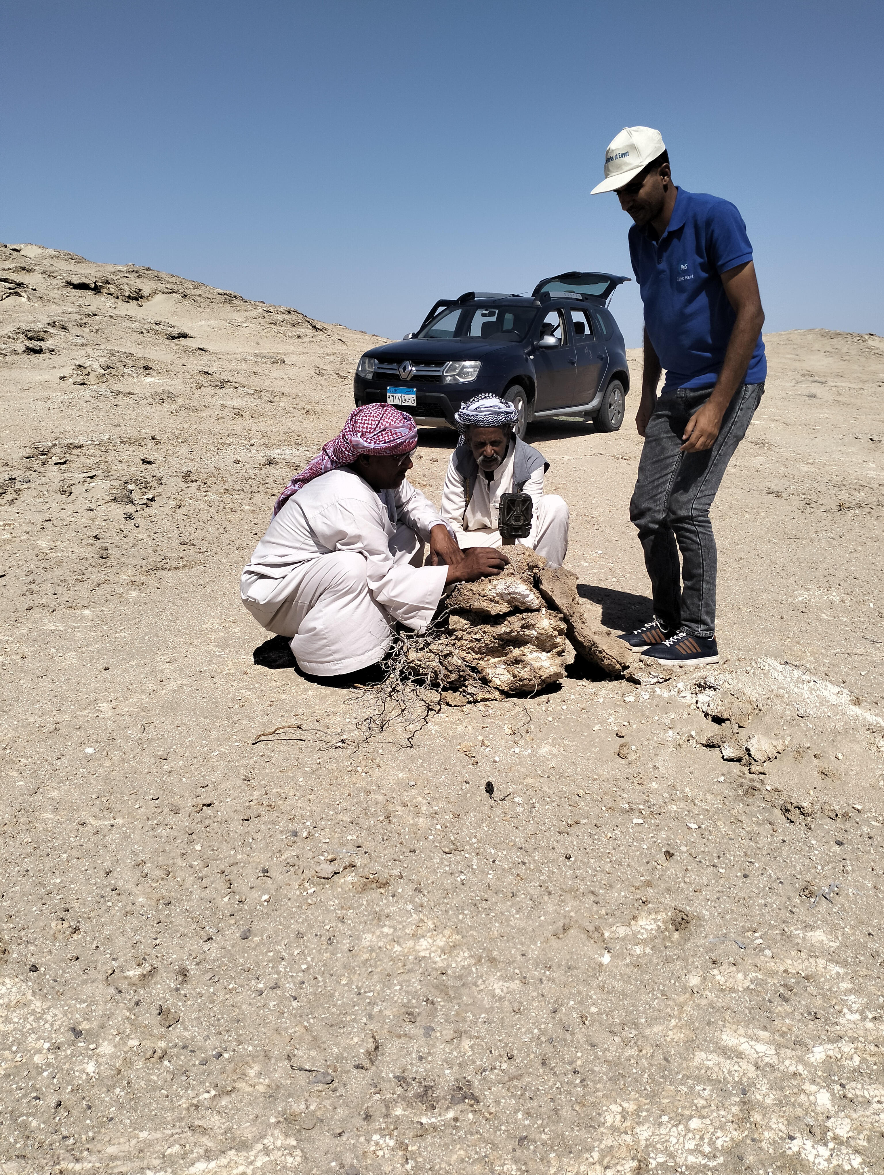
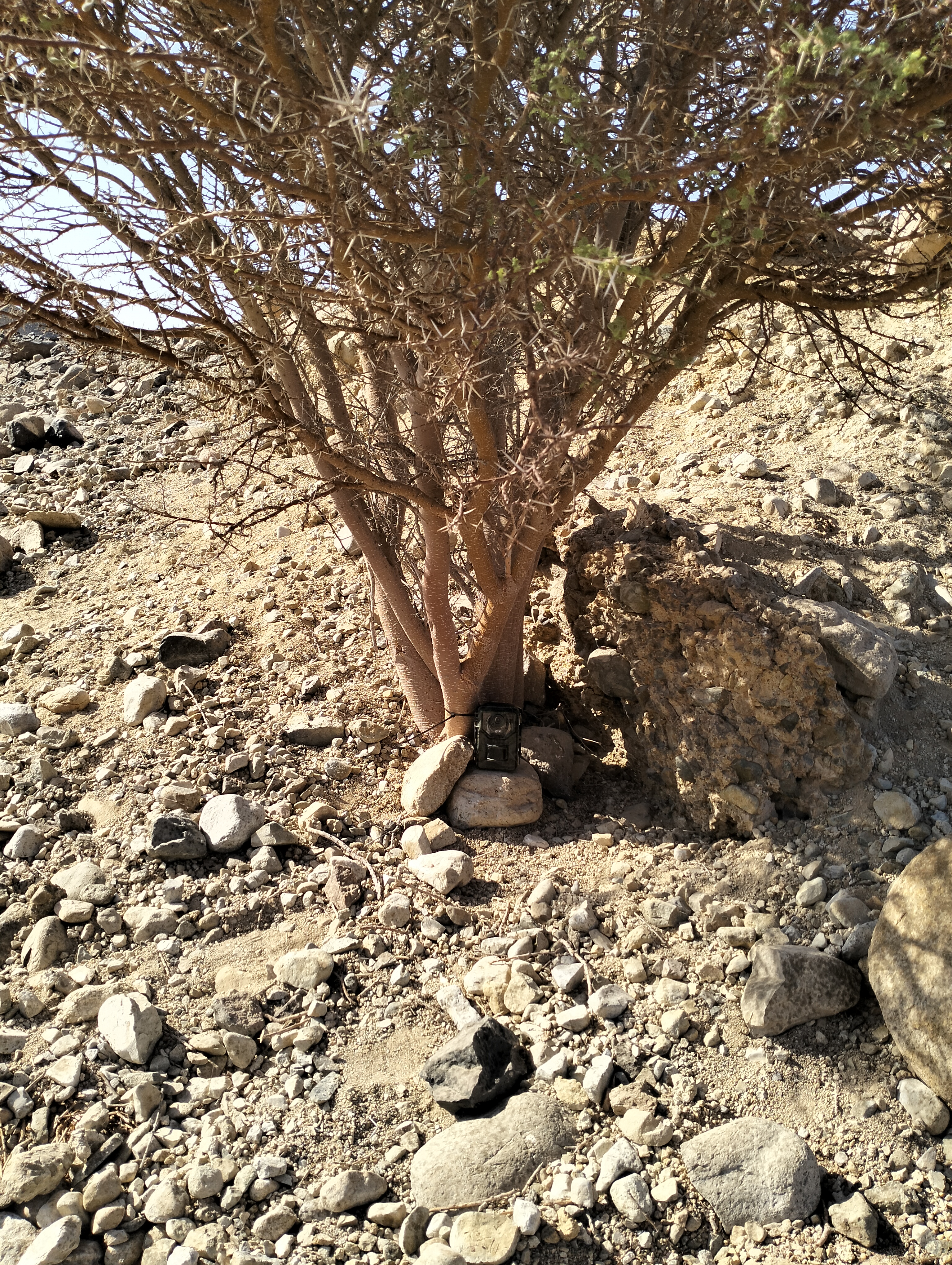
The study combined habitat classification using Sentinel-2 satellite imagery, distance sampling of indirect gazelle signs (dung piles) over 140 km of line transects, and 1,350 camera-trap days across 15 strategically selected sites. Interviews with local community elders supplemented the field data with traditional ecological knowledge.

Gazelle presence was found to be abundant across the study area, with both indirect detections and direct camera-trap records confirming a viable population still roaming the park. The study concluded that with proper protection measures in place, the population is highly likely to recover naturally. A conservation action plan was proposed, aligned with CMS Sahelo-Saharan Mega Fauna Initiative guidelines.

4,800 km² Survey Area
1,350 Camera Days 15 Trap Sites
140 km Line Transects
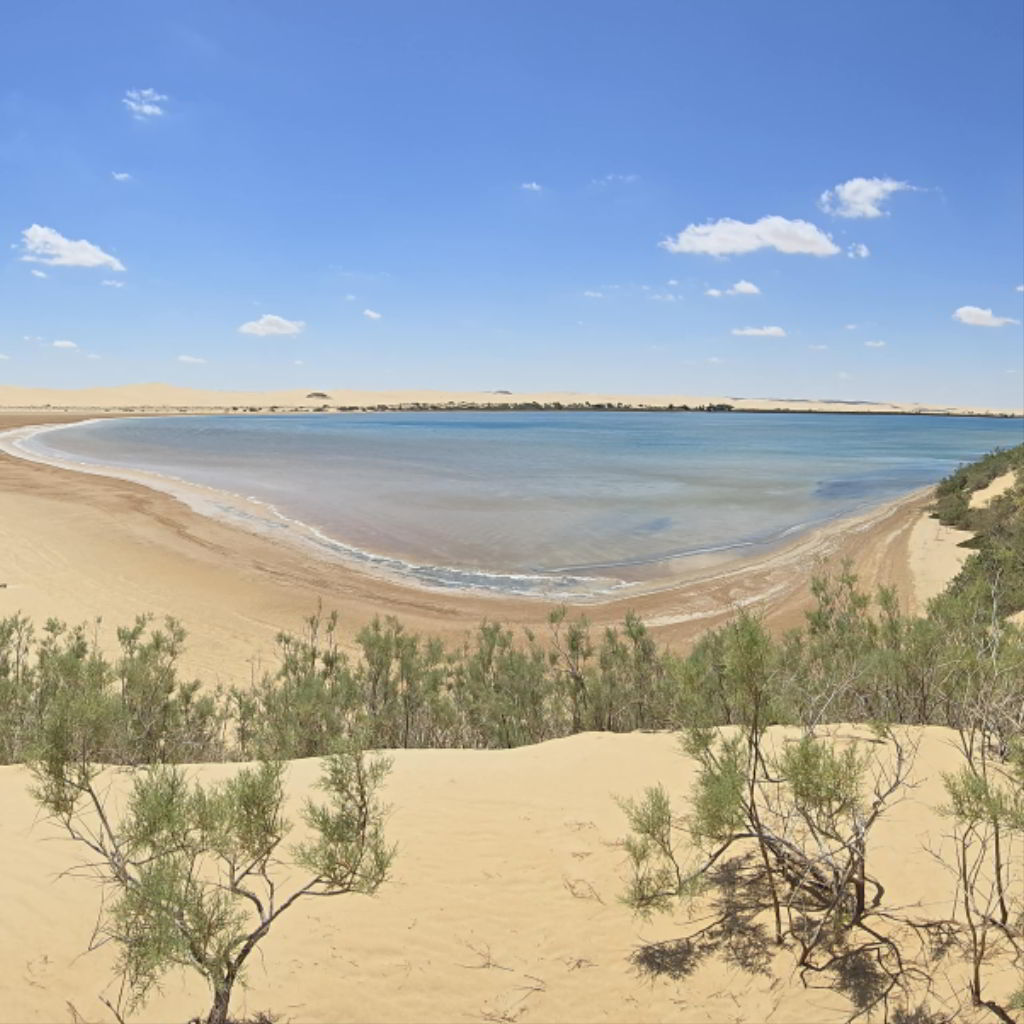
Siwa Oasis landscape during Gazelle Survey — Western Desert of Egypt
Wildlife Survey & Conservation Planning

Gazelle Population Survey — Siwa Oasis, Western Desert of Egypt

A comprehensive survey commissioned by the Italian Agency for Development Cooperation on behalf of Egypt's Nature Conservation Sector (EEAA), covering the Siwa Protected Area and a 20 km buffer — a total of 20,000 km². The project ran from April to May 2024 and assessed two key parameters: Dorcas Gazelle (Gazella dorcas) and Slender-horned Gazelle (Gazella leptoceros) population size and occupancy across the study region.

The survey applied distance sampling of indirect signs (dung piles) over 113 km of line transects, combined with 196 camera-trap days across 14 strategically selected sites. Interviews with local community elders complemented the field data with traditional ecological knowledge.

Gazelle presence was found to be very scant, with only a handful of indirect detections and zero camera-trap captures. The study concluded that while habitat quality remains suitable, the observed decline is likely attributable to human factors — primarily poaching. A conservation action plan was proposed, aligned with the CMS Sahelo-Saharan Mega Fauna Initiative, recommending ex-situ measures including population enforcement or full reintroduction as the path to recovery.

20,000 km² Survey Area
196 Camera Days 14 Trap Sites
113 km Line Transects

Ready to Start Your Environmental Project?

Let's discuss how our proven expertise can help you achieve your environmental goals.

Get Started Today